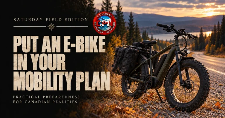
Put an E-Bike in Your Mobility Plan
Quiet local transport with the range to make it useful A preparedness plan usually accounts for a vehicle, a fuel reserve and perhaps a good pair of boots. There is room between those options for an electric bike. It can take care of the trips that are too far to walk comfortably but too small…