Reading the land when digital shortcuts disappear
Modern hunting often begins on a screen.
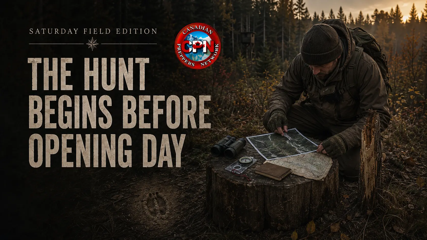
Satellite imagery reveals field edges, timber cuts, ridgelines, creek bottoms and forgotten access roads. Topographic maps expose saddles, steep slopes and natural funnels. GPS applications let hunters mark sightings, trails and possible hunting positions without ever unfolding a paper map.
Use those advantages while they exist—but do not mistake them for hunting skill.
In a prolonged collapse, satellite images will become increasingly outdated. Mapping services and cellular trail cameras may disappear behind dead networks. Batteries will fail, devices will break and saved locations may become inaccessible. GPS signals might continue for some time, but the phone, application and downloadable map layers required to use them cannot be treated as permanent infrastructure.
The serious preparedness hunter uses digital tools to accelerate the learning process. The resulting knowledge is transferred to paper, confirmed on the ground and committed to memory.
The objective is not simply to find an animal. It is to understand why animals move through a particular piece of ground—and to position yourself where that movement can be observed without wasting energy, exposing your presence or depending on electronics.
Begin With the View From Above
Satellite imagery is excellent for identifying possibilities.
Before entering an unfamiliar hunting area, look for:
- Agricultural fields meeting heavy cover
- Creek bottoms and river crossings
- Narrow strips of timber connecting larger wooded areas
- Ridges, saddles and benches
- Old logging roads and hydro corridors
- Clear-cuts at different stages of regrowth
- Islands of dry ground inside wetlands
- Places where steep terrain forces travel through a narrow opening
- Water sources close to bedding or feeding cover
These are not guaranteed hunting spots. They are places worth investigating.
A narrow band of timber between two open areas may act as a travel corridor. A saddle can provide the easiest route across a ridge. A creek bend may create a natural crossing. An overgrown logging road may offer easy movement through otherwise dense cover.
The aerial image provides a hypothesis. Boots on the ground determine whether it is correct.
Satellite imagery can also be deceptive. A recent timber harvest may not appear on an older image. A trail visible from above may be choked with vegetation. A promising creek may be seasonal, while an innocent-looking patch of forest may contain the best bedding cover in the area.
Use tools such as Natural Resources Canada’s Toporama mapping service to study and print topographic maps. Mark possible locations before scouting, then correct the map by hand as you learn what is actually there.
The paper map becomes more valuable every time reality is added to it.
START PREPARING FOR A GRID-DOWN EMERGENCY
Download the free Canadian Grid-Down Starter Kit and begin building a practical household plan before normal systems become unreliable.
Read the Terrain Before Looking for Tracks
Tracks tell you that an animal passed through a particular place. Terrain helps explain why.
Animals generally seek combinations of food, water, security and efficient movement. They may tolerate difficult ground when pressured, but they rarely waste energy without a reason. A hunter should therefore examine the landscape as a system rather than a collection of isolated signs.
Ask four questions:
- Where is the likely feeding area?
- Where is the secure bedding or resting cover?
- Where is reliable water?
- What route offers the safest or easiest movement between them?
In rolling country, look for benches running along the side of a ridge. On steep ground, examine saddles and gentler slopes. Around wetlands, find firm crossings, beaver dams and narrow strips of dry ground. Along field edges, pay special attention to inside corners, brushy points and breaks in fencing or vegetation.
Transition zones deserve close inspection. Animals often travel where two types of cover meet: mature timber beside thick regrowth, conifers against hardwoods, swamp edges, creek banks or the boundary between forest and field.
A broad area might contain animals. A funnel concentrates their movement.
That distinction becomes even more important when fuel, food and physical energy are limited. Wandering through kilometres of bush hoping to encounter game is expensive. A prepared hunter identifies the few locations where patience is more productive than movement.
Look for a Pattern, Not a Single Sign
One large track can capture attention, but it does not establish a dependable hunting location.
Good scouting looks for several forms of evidence pointing toward the same conclusion:
- Tracks travelling in a consistent direction
- Trails worn through leaves or vegetation
- Fresh and older droppings in the same area
- Beds in protected cover
- Hair caught on fencing or rough bark
- Browsed plants and clipped branch tips
- Rubs, scrapes and damaged vegetation
- Muddy creek crossings
- Multiple trails converging at a pinch point
Freshness matters. A track with crisp edges in damp soil is different from one softened by rain and wind. Recently disturbed leaves, exposed soil or bent vegetation may show movement that occurred after the last rainfall.
Direction also matters. A heavily used trail leading from bedding cover toward a field may carry animals near evening, while the same trail could provide morning movement in the opposite direction.
Do not build an entire plan around one dramatic observation. Look for repeated use and clusters of evidence. A trail, droppings and nearby beds tell a more convincing story together than any one of them does alone.
Return under different conditions. Rain, snow and soft mud reveal movement that dry ground hides. Wind direction can change which side of a ridge animals prefer. Pressure from people or predators may push movement away from obvious trails and deeper into cover.
Tracking is not merely following prints. It is learning how the animal uses the landscape.
Turn Digital Reconnaissance Into Durable Knowledge
Every useful discovery should survive the loss of your phone.
Carry a small notebook, pencil, printed map and baseplate compass. Record:
- The date and approximate time
- Weather and temperature
- Wind direction
- Recent rainfall or snowfall
- Type and freshness of sign
- Direction of travel
- Nearby food, water and cover
- Entry and exit routes
- Distances to obvious landmarks
- Compass bearings between important points
Assign simple numbers to potential positions and mark them on the paper map. A location recorded as “Spot 3” is easier to reference than a vague description of a tree beside a creek.
Digital coordinates can be written in the notebook, but they should not be the only method of returning. Note physical landmarks, bearings and approximate walking distances. Learn how the drainage, ridge or field edge connects to the surrounding terrain.
Keep the map protected from rain and make corrections in pencil. Record new logging activity, washed-out crossings, fallen timber and changes in vegetation. Over time, your map should become more accurate than the satellite image that started it.
That is how modern technology becomes a post-collapse asset instead of a dependency.
Choose the Interception Point
Once a travel pattern is understood, the next task is selecting where to hunt it.
The best position is not necessarily beside the largest concentration of tracks. Sitting directly on a bedding area or primary feeding location can expose the hunter and push animals elsewhere. A better position may intercept the route between the two.
Look for a place that provides:
- A predictable movement corridor
- Adequate visibility
- A clear shooting direction and dependable backdrop
- Cover behind and around the hunter
- An approach that does not cross the main trail
- A workable wind direction
- Enough room to remain comfortable and still
Wind should shape the entire setup. A perfect-looking location becomes nearly useless when human scent is carried directly into the expected approach.
Study both the prevailing wind and the way air moves through the immediate terrain. In broken country, wind can swirl around ridges, timber edges and creek bottoms. Heating and cooling slopes may produce rising or falling air currents even when the broader forecast appears stable.
A few visits with simple wind-indicating powder, light thread or dry grass fibres can reveal what an application cannot: how the air behaves at that exact tree, blind or creek crossing.
Maintain more than one position. A primary spot usable only under a west wind is not a complete system. Establish alternatives for different winds, seasonal movement and changing pressure.
PLINKIN’ IN THE WOODS
Practical Rimfire Marksmanship With Frugal Gunnie
Spend a full day developing practical outdoor shooting skills from prone, standing, seated and kneeling positions. Learn to use slings, bipods, tripods and shooting bags more effectively while receiving individual instruction on fundamentals, ergonomics and technique.
Saturday, September 12, 2026
8:00 a.m.–5:00 p.m.
Great Ape Empire
267 Highway 6, Wiarton, Ontario
$250 CAD
Weekend camping: $20 per person
Private event. Limited space.
Build the Spot Without Advertising It
A hunting position should improve observation without making the area look occupied from a distance.
A ground setup can be as simple as a comfortable seat against a wide tree, natural cover that breaks up the outline and a stable rest. A blind offers more concealment but requires transport, maintenance and secure storage. A tree stand improves visibility and may help with scent, but it adds equipment, noise, exposure and dependence on access hardware.
In a long emergency, a simple natural position has major advantages. It cannot suffer a mechanical failure, needs no batteries and leaves little equipment behind for someone else to find.
Clear only what is necessary. One or two narrow observation and shooting lanes are often better than a large artificial opening. Remove branches that obstruct the intended position, but avoid turning the area into an obvious human construction.
Identify distances before the hunt. An electronic rangefinder is useful while it works, but you should also know the approximate distance to fixed landmarks: the large cedar, the creek bank, the trail junction or the far edge of the clearing.
Prepare the body position as carefully as the view. A poor seat leads to constant shifting. Unsupported arms become tired. Gear placed behind the hunter creates noise at the worst possible moment. Arrange essential equipment so it can be reached slowly and silently.
The goal is to become part of the location rather than a visitor constantly adjusting to it.
The Approach Is Part of the Hunt
A carefully selected position can be ruined before the hunter reaches it.
Plan an access route that avoids the main travel corridor, keeps noise low and limits scent drifting into the area. Do not walk directly down the trail you expect animals to use. Avoid brushing against vegetation where possible, and cross open ground only when necessary.
Timing should allow the area to settle after arrival. Reaching the position just as movement begins creates unnecessary noise and motion. Arriving earlier gives disturbed birds and small animals time to resume normal behaviour.
Move slowly during the final approach. Stop frequently and listen. A hunter staring at the ground while hurrying toward a marked location may walk past the very animal he intended to wait for.
The exit route matters as well. If the spot will be hunted again, leaving through the feeding area or bedding cover can contaminate the entire pattern. Withdraw along the route that causes the least disturbance, even if it requires a longer walk.
SUPPORT CANADIAN PREPPERS NETWORK
Gold Membership costs only $5 per year and helps CPN continue publishing independent Canadian preparedness articles, guides and field-focused resources.
Hunt With Your Ears Before Your Eyes
Once positioned, stillness is more productive than constant searching.
Listen for a single deliberate footfall, vegetation brushing against a body, water disturbed at a crossing or birds reacting to movement. Watch the edges of cover rather than staring into open ground. Look for horizontal lines, small changes in colour and the brief movement of an ear or leg.
Scan slowly. The eye detects movement well, but rapid head turns create movement of your own. Divide the visible area into sections and examine each one methodically.
Calls and attractants can have a place, but they are not a substitute for understanding natural movement. Excessive calling announces the hunter’s presence and can educate animals that survive the encounter. In a subsistence situation, predictability and concealment matter more than creating excitement.
Do not abandon a well-supported position simply because nothing happened during the first hour. Relocate when the evidence changes—not merely when patience runs out.
After every hunt, add observations to the notebook. Record what moved, when it moved, where it appeared and how the wind behaved. An empty sit is still useful if it disproves an assumption.
When the Screens Go Dark
Cellular cameras, satellite imagery, GPS applications and electronic rangefinders can make scouting more efficient. None of them should be the foundation of the system.
A non-cellular trail camera can continue working as long as batteries and storage media remain available, but it watches only one narrow field of view. It can confirm timing and direction; it cannot explain an entire landscape.
Low-tech observation remains available indefinitely. Soft mud records tracks. Snow preserves direction and frequency. A lightly smoothed patch of bare soil can reveal fresh crossings. A notebook preserves patterns across seasons. A compass and annotated map continue working without a subscription, charging cable or server.
Most importantly, knowledge of the ground becomes internal. After enough careful scouting, you should be able to describe where the water drains, which ridge offers the easiest crossing, where the prevailing wind becomes unstable and how animals move between cover and food.
That knowledge cannot be switched off remotely.
ARCHERY INTENSIVE WITH WOLF STARCHILD
Learn the Bow. Understand the Shot.
Spend a concentrated day improving stance, grip, drawing, anchoring, release, follow-through and arrow control. The program includes changing distances, practical shooting positions, traditional techniques and individual form correction.
Sunday, September 13, 2026
Great Ape Empire
267 Highway 6, Wiarton, Ontario
$120 per person
Equipment is available
Weekend camping: $20 per person
Instruction is provided by Wolf Starchild of Barefoot Bushcraft. Space is limited to preserve the hands-on format, and a minimum of eight registered participants is required.
Presented by Barefoot Bushcraft in partnership with Canadian Preppers Network, Preppers Meet, Great Ape Empire and Off-Grid School.
Build the Hunt Before You Need It
Post-collapse hunting will not reward people who believe owning a rifle makes them hunters.
It will reward the person who studied the imagery while it was available, printed the maps, walked the terrain, learned the sign, tested the wind and established several productive positions before the need became desperate.
Use satellites to see the broad pattern. Use topographic maps to understand the shape of the land. Then leave the screen behind and verify every assumption with your own eyes.
A successful hunt may last only a few seconds.
The work that creates that opportunity begins months earlier—and the skills behind it will remain useful long after the last digital map stops updating.
FIELD SCOUTING AND HUNTING GEAR
The following equipment supports the system described above. Electronics can improve efficiency, but every electronic tool should have a manual alternative.
- Baseplate compasses
- Waterproof map cases
- Hunting binoculars
- Non-cellular trail cameras
- Wind-indicating powder
- Compact hunting seats and cushions
- Folding pruning saws
As an Amazon Associate, Canadian Preppers Network may earn from qualifying purchases.