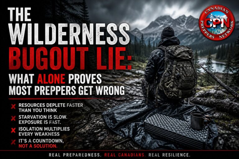
In a Canadian winter, navigation stops being a convenience skill and becomes a life-preserving discipline. Snow reshapes the land, erases trails, buries reference points, and punishes even minor mistakes. A wrong turn in July costs time. The same error in January can cost calories, daylight, and body heat—and those are resources you may not get back.
For Canadian preppers, hunters, trappers, and anyone planning for grid-down movement, low-tech winter navigation is not optional. It is one of the few skills that still works when batteries fail, signals disappear, and weather turns hostile.
Why Winter Destroys False Confidence
Modern navigation habits are quietly dependent on electronics. Even experienced outdoorsmen often rely on GPS as a backstop without realizing it. Winter exposes that weakness immediately.
Cold drains batteries faster than expected. Touchscreens fail with gloves. Whiteouts erase depth perception. Familiar land becomes unrecognizable once trails vanish and frozen waterways masquerade as shortcuts. In these conditions, navigation errors compound quickly, especially when fatigue and cold reduce decision-making ability.
This is why winter navigation must be deliberate, conservative, and methodical.
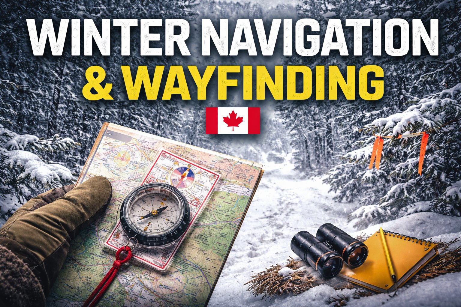
Map and Compass: Still the Only Reliable System
A topographic map and a quality compass remain the only navigation tools that function indefinitely in sub-zero temperatures without infrastructure. They don’t depend on satellites, cell towers, or lithium chemistry.
Winter navigation fundamentals include orienting your map to the terrain rather than trusting north alone, committing fully to bearings instead of “correcting on the fly,” and using major terrain features to guide movement instead of fighting them. Drift is common in deep snow, and disciplined back-bearing checks are essential.
A global-needle baseplate compass is strongly recommended for Canadian use. Two proven options available on Amazon.ca are the Suunto MC-2 Global Compass
👉 https://amzn.to/3VSuuntoMC2
and the Silva Ranger 2.0 Compass
👉 https://amzn.to/3VSsilvaRanger
Pair either with laminated Canadian topographic maps and a clear waterproof map case to protect them from snowmelt and condensation.
Distance Becomes Unreliable in Deep Snow
Winter travel breaks the usefulness of traditional pace counting. Snow depth, crust conditions, slope, and pack weight constantly change stride length. Instead of chasing precise distance, experienced winter travelers navigate by time, terrain association, and handrails.
Linear features such as ridgelines, treelines, drainage basins, and contour transitions reduce error dramatically. These techniques integrate well with concepts covered in CPN’s existing articles on winter movement and shelter placement.
Internal reading:
- https://canadianpreppersnetwork.com/winter-shelter-site-selection/
- https://canadianpreppersnetwork.com/cold-weather-wilderness-movement/
Natural Navigation Still Works—Even in Winter
Low-tech navigation does not end with instruments. Winter actually simplifies the landscape, making macro terrain cues easier to read if you know what to look for.
The sun’s arc still provides east-west reference on clear days. Prevailing winds shape snowdrifts consistently along exposed terrain. Tree growth patterns, slope angle, and drainage direction remain visible even under snow cover. These cues should never replace a compass, but they provide confirmation and help prevent dangerous tunnel vision during low visibility.
This skill ties directly into broader terrain awareness discussed in:
https://canadianpreppersnetwork.com/reading-the-land-terrain-awareness/
Marking Your Route Is Not Optional
In winter, navigation must assume you may need to reverse course under stress. Weather changes, injuries happen, and daylight disappears faster than expected.
Temporary, removable flagging tape, subtle snow markers, or natural indicators can guide your return without permanently marking the land. Just as important is logging bearings, movement times, and terrain notes.
A Rite in the Rain waterproof notebook
👉 https://amzn.to/3VRritenrain
combined with a simple pencil will outlast any phone note app in freezing conditions and should be considered essential winter gear.
Navigation Is Calorie Management
Winter navigation is fundamentally about energy control. Every unnecessary kilometer burns calories that cannot be easily replaced. Every stop increases heat loss. Every rushed decision accelerates fatigue.
Experienced winter travelers confirm bearings before moving, identify bailout routes in advance, and set hard turnaround times. They avoid terrain traps such as frozen rivers, wind-scoured ridges, and low cold sinks unless absolutely necessary. Sometimes the smartest navigation decision is stopping early and sheltering rather than pushing on.
This philosophy complements:
- https://canadianpreppersnetwork.com/cold-weather-calorie-management/
- https://canadianpreppersnetwork.com/winter-layering-systems/
Practice Before It Matters
Navigation is a perishable skill, especially in winter. Confidence without repetition is dangerous.
Practice navigating familiar land without GPS. Take bearings during snowfall. Train short movements at night using only a headlamp and compass. Intentionally lose and re-acquire trails. These exercises expose weaknesses while mistakes are still survivable.
Final Thought
In Canadian winters, navigation is not about speed—it’s about control. Control of direction, time, energy, and risk. Technology may assist, but it cannot replace fundamentals practiced under real conditions.
If your preparedness plans include evacuation routes, retreat movement, or winter operations, this skill deserves serious investment.
📘 Further Reading
Acres of Preparedness: Planning the Last Safe Place connects terrain analysis, seasonal movement, and long-term land use into a single Canadian-specific preparedness framework.
👉 https://amzn.to/4iLrm9Y